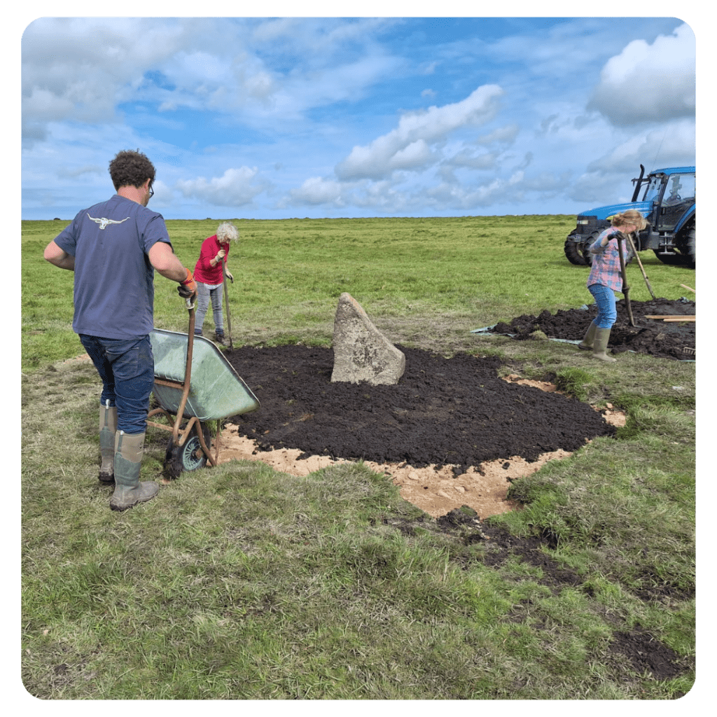
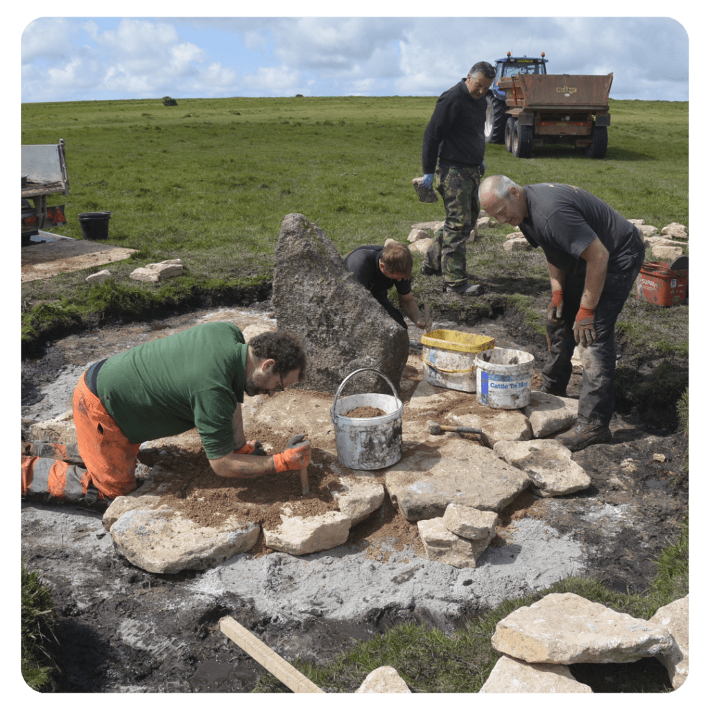
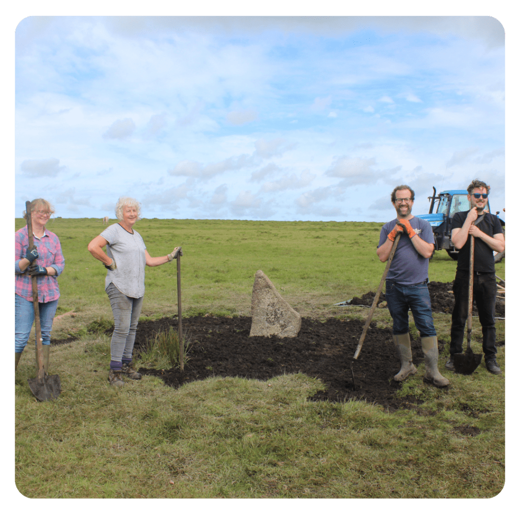
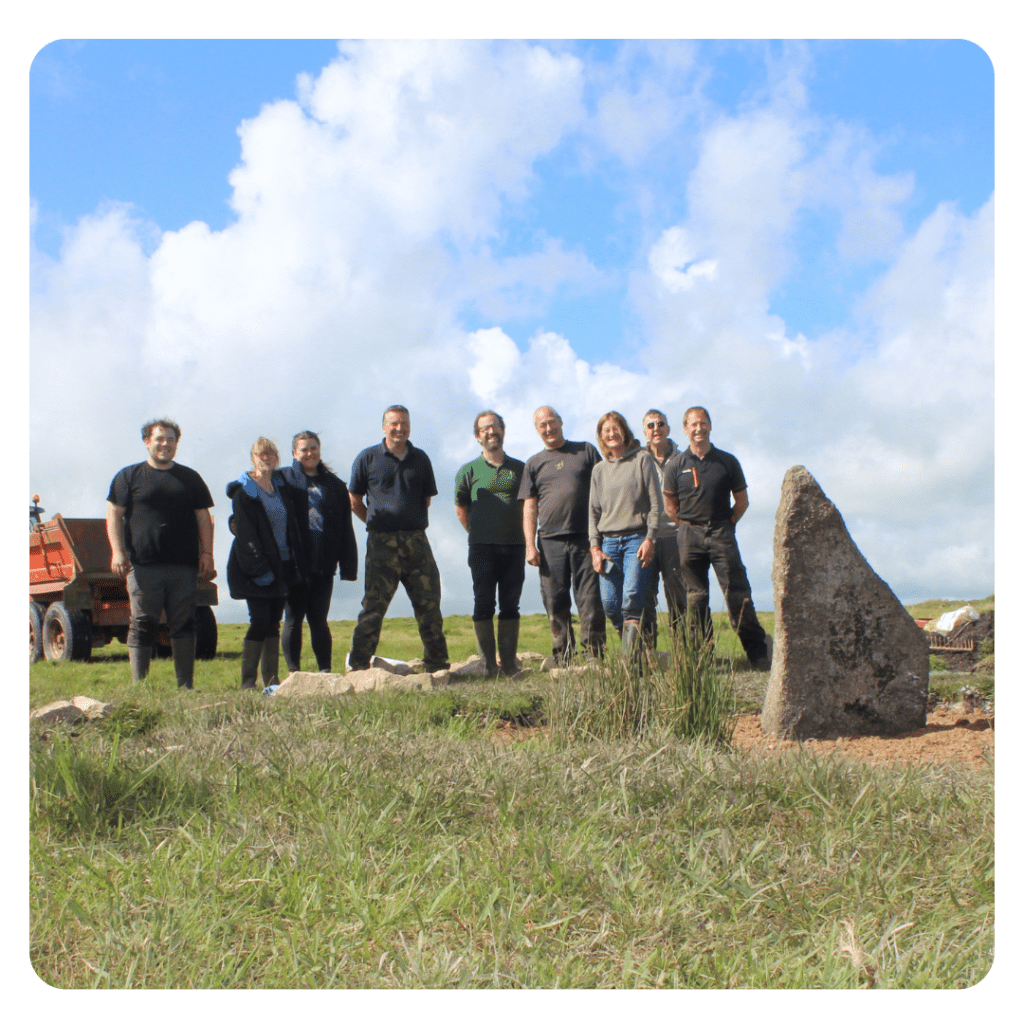
Case Studies

Emblance Downs Stone Circle – August 2023

About the Monument This monument includes two stone circles situated on Emblance Downs. They are positioned close to one another at approximately 2.5m apart. The western circle survives as a...

About the Monument

This monument includes two stone circles situated on Emblance Downs. They are positioned close to one another at approximately 2.5m apart.

The western circle survives as a ring of stones, including five uprights and two recumbent stones with three possible sockets missing their original stones and would have had a diameter of approximately 23m. The stones appear to have been irregularly spaced (between 4.5m to 5m apart) and originally numbered about 15. Two fallen and displaced stones lie near the centre of the circle with the stones varying in height from 0.3-1.2m high. Close to the centre of the circle is a low mound measuring 4.5m long by 3m wide and 0.4m high.

The eastern circle survives as two upright and four fallen stones, one of which appears to have been displaced from the circle and now lies 2m to the south. The diameter is calculated at approximately 23.25m.

Why were repairs needed?

This stone alignment was listed on Historic England’s at-risk register with the main threat resulting from livestock erosion. Cattle, ponies and sheep rub against the stones and erode the ground surrounding the base which exposes the packing stones, and this ultimately leads to destabilisation. Hollows created by the erosion are then filled with rainwater making them even more vulnerable to toppling. A survey carried out in 2021 found that the hollows, which at the time were filled with water, were up to 60cm deep. Furthermore, the site is under threat from overgrown gorse which obscures the alignment resulting in the site being difficult to find and is therefore underappreciated

What repairs were carried out?

Infilling eroded hollows:

  • Preliminary recording of eroded areas
  • Silt and mud from the bottom of the hollows was cleared down to the firm subsoil, to provide a solid base to build up from.
  • The edges of the hollows were then cut back to vertical, to form a solid edge up against which filling materials were firmly wedged. 
  • A layer of white sand was placed in the base of the hollows, to provide an archaeologically distinct layer.
  • A thin layer of light orange-brown, clean subsoil was spread over the top of the white sand, to bed the next layer of stones in.

Re-erecting of standing stone:

  • A dry-stone surround of local granite was placed in the sides of the original socket cut to create a solid foundation for the stone.
  • A layer of white sand was spread in the base of the cut and then covered with subsoil, this made sure any future excavators know that there has been previous intervention.
  • The stones were then raised using digger straps and lowered into the new cut socket.
  • The surrounding hollow was then infilled using the method above.

In total, 1 stone was re-erected and 2 eroded hollows were infilled creating a solid surface around the stones.

Whats Next?

Monitoring of the site is key to the sites long-term survival. Volunteers will continue to monitor the condition of the repairs and stone alignment as a whole in the future, feeding back any concerns or issues to the Historic England Heritage at Risk Officer. Furthermore, the site will have accessible digital interpretation on our website including an annotated still drone image.

A special thank you to the landowner as well as Attwell Associates who supported the repairs.

Thank you also to our team of monumental volunteers who helped with the conservation works!

top border