Monitoring & Evidence
Our objectives can be achieved through various means such as but not...
View page

The key landscape characteristics of this section of Cornwall National Landscape can be split into two distinct areas: Fowey Ria and Polperro Coast. The approach to this section sees a marked change in character from that of the industrial, China clay related landscape of Par Docks and the busy nature of the holiday park at Par Sands. Between Black Bottle Rock in the west and Pencarrow Head in the east is the white sand and shingle beach of Lantic Bay, only accessible from the South West Coast Path.


This section of the AONB consists of the Fowey Ria and its tributaries and extends south of Lostwithiel, west of Fowey over Gribbin Head to the coast near Par Sands and eastwards to Portloe on the outskirts of west Looe. As with the South Coast Central section, South Coast Eastern has two distinct landscape character types; the River Fowey, which is primarily a ria landscape, and the open coastal areas that extend eastwards from Polruan to Portloe. The coastal section also includes a small area of land west of Gribbin Head facing on to St Austell Bay and takes in the small coastal settlement of Polkerris.
| AONB Section | Cornwall's Landscape Character areas | Marine Character Areas covering the coast/adjacent waters |
|---|---|---|
|
CA21: Fowey Valley CA22: South East Cornwall Plateau CA39: St Austell Bay and Luxulyan Valley |
MCA 49: South Cornwall Coastal Waters and Estuaries |
The Key Landscape Characteristics of this section of the AONB can be split into two distinct areas: Fowey Ria and Polperro Coast. The approach to this section of the Cornwall AONB sees a marked change in character from that of the industrial, China clay related landscape of Par Docks and the busy nature of the holiday park at Par Sands in the setting of the AONB.

Between Black Bottle Rock in the west and Pencarrow Head in the east is the white sand and shingle beach of Lantic Bay, only accessible from the South West Coast Path.
Due to the exposed nature of this coastal landscape there are few trees other than the larger valley running inland from Polperro to Crumplehorn, here there are areas of mixed and deciduous woodland, benefiting from the sheltered environment. Much of the land along this section of the AONB is in agricultural use with a mix of arable and pastoral farming in a medieval field enclosure system with medium sized fields.
The narrow lane network connecting the farms with small hamlets are enclosed by high Cornish hedges of slate which are well vegetated and give the appearance of grassy banks.


State of the AONB Report 2021
The Monumental Improvement project will ensure that 38 Scheduled Monuments in the Cornwall National Landscape will be better identified, supported and enjoyed by a wide range of communities and visitors.
Castle Dore is an impressive Iron Age hillfort located near Fowey, Cornwall. Its elevated position in the landscape offers panoramic views of the surrounding countryside, making it a fascinating historical site to explore.

About the Monument Castle Dore is a small multivallate hillfort, surviving as a roughly circular central area defined by a well-constructed inner rampart and ditch. A partial excavation of the…

Intro Paragraph

Farming in Protected Landscapes (FiPL) is a programme providing grant-funding for Farmers and Landowners designed to deliver for People, Place, Nature and Climate. The programme is funded by Defra and delivered by Cornwall National Landscape.
FiPL is helping to address the climate and biodiversity crisis, improve people’s engagement with the landscape, and support sustainable farm businesses and communities.

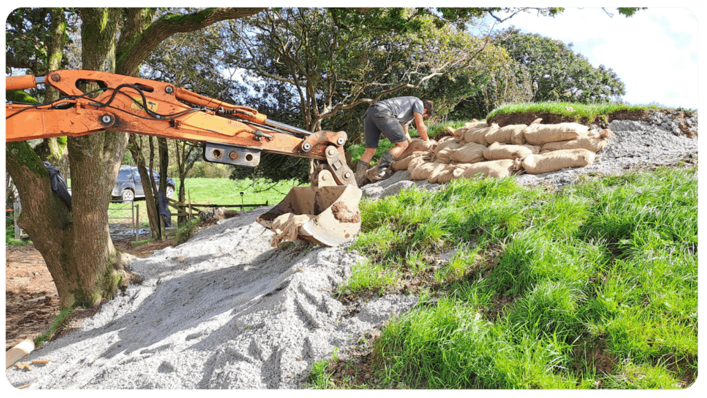
Some Cornish Hedges are over 3,500 yrs old! Making them one of the oldest human-made structures still used for their original purpose. As old as the Pyramids, neither a hedgerow or a dry-stone wall, they are unique and mainly found in Cornwall.
Despite their importance, there is a significant gap in evidence at scale to fully capture the contributions of Cornish Hedges to ecosystem services and natural capital value.

An anthology of short fiction inspired by Cornwall’s protected landscape.
Increasing access to the protected landscape, for those underserved, and connecting people with place. This project uses the arts as a mechanism to connect more people with nature.
The policies and objectives below are applicable to this Local Section – they should, however, be read in conjunction with the Cornwall AONB Strategy Aims, Policies and Objectives which are applicable to the whole designation.
Require the active consideration of landscape and visual impacts around the Fowey Ria, harbour and creeks of increasing or changing patterns of waterbased access, leisure and commercial activity and related infrastructure such as moorings, jetties, car parks and yards.
References to the main aims, policies & objectives
 Policy LS-P1
Policy LS-P2
Policy LS-P3
Policy LS-P4
Policy LS-P6
Objective LS-Ob6
Policy LS-P1
Policy LS-P2
Policy LS-P3
Policy LS-P4
Policy LS-P6
Objective LS-Ob6
 Objective NRLM-Ob9
Objective NRLM-Ob11
Objective NRLM-Ob9
Objective NRLM-Ob11
 Objective HC-Ob1
Objective HC-Ob2
Policy RSA-P1
Policy RSA-P2
Objective RSA-Ob4
Objective HWB-Ob2
Objective HWB-Ob5
Objective HC-Ob1
Objective HC-Ob2
Policy RSA-P1
Policy RSA-P2
Objective RSA-Ob4
Objective HWB-Ob2
Objective HWB-Ob5
 Policy SCE-P2
Policy SCE-P3
Policy SCE-P5
Policy SCE-P6
Objective SCE-Ob1
Objective SCE-Ob3
Objective SCE-Ob5
Policy PD-P10
Policy PD-P17
Policy SCE-P2
Policy SCE-P3
Policy SCE-P5
Policy SCE-P6
Objective SCE-Ob1
Objective SCE-Ob3
Objective SCE-Ob5
Policy PD-P10
Policy PD-P17
Support the further development of sustainable water-based travel, integrated with other initiatives in South Coast Central AONB section that build on the existing ferry links between Fowey and Bodinnick, and Fowey and Polruan and further afield.
References to the main aims, policies & objectives
Support the work of the Fowey Estuary Partnership in its aim to stimulate an appropriate balance between competing demands placed on the Fowey Estuary through shared information, co-operation and action, including seeking opportunities to implement the Fowey Estuary Management Plan and to support the continuation of the Upper Fowey and Point Pill Voluntary Marine Conservation Area designation.
References to the main aims, policies & objectives
Policy LS-P1
Policy LS-P2
Objective LS-Ob6
Objective NRLM-Ob1
Objective NRLM-Ob2
Objective NRLM-Ob3
Objective NRLM-Ob5
Objective NRLM-Ob6
Objective NRLM-Ob8
Objective NRLM-Ob9
Objective NRLM-Ob13
Policy CCBR-P1
Objective CCBR-Ob2
Objective CCBR-Ob3
Objective CCBR-Ob4
Objective CCBR-Ob5
Objective HC-Ob1
Objective HC-Ob4
Objective HC-Ob7
Objective HC-Ob11
Objective HC-Ob12
Objective HC-Ob13
Objective HC-Ob14
Policy RSA-P1
Policy RSA-P2
Policy RSA-P3
Policy RSA-P4
Objective RSA-Ob1
Objective RSA-Ob2
Objective RSA-Ob3
Objective RSA-Ob4
Objective HWB-Ob1
Objective HWB-Ob2
Objective HWB-Ob3
Objective HWB-Ob4
Objective HWB-Ob5
Policy SCE-P2
Policy SCE-P3
Policy SCE-P4
Policy SCE-P5
Policy SCE-P6
Objective SCE-Ob1
Objective SCE-Ob3
Objective SCE-Ob4
Objective SCE-Ob5
Objective SCE-Ob6
Objective SCE-Ob7
Support communication of the implications of the Shoreline Management Plan to creek side and coastal communities within this section such as Polkerris, Lerryn and Golant in order to open an early dialogue about sea level rise and coastal change.
References to the main aims, policies & objectives
Support the wealth of cultural heritage around the Fowey and particularly its literary heritage, including the continued success of the Fowey Festival of Music and Words.
References to the main aims, policies & objectives
Support appropriate improvements to footpath access around the Fowey Ria and its creeks with respect to the Marine and Coastal Access Act 2009 provided that this does not encourage an increase in traffic levels or the provision of further car parks and that this conserves and enhances the natural beauty, provided that this does not impact upon the qualifying features of the SAC or SPA from recreational disturbance.
References to the main aims, policies & objectives
Policy LS-P1
Policy LS-P2
Objective LS-Ob6
Objective NRLM-Ob9
Objective CCBR-Ob4
Policy RSA-P1
Policy RSA-P2
Policy RSA-P3
Objective RSA-Ob1
Objective RSA-Ob2
Objective RSA-Ob3
Objective RSA-Ob4
Objective HWB-Ob1
Objective HWB-Ob2
Objective HWB-Ob3
Objective HWB-Ob4
Objective HWB-Ob5
Policy SCE-P3
Policy SCE-P6
Objective SCE-Ob1
Objective SCE-Ob5
Support the continuation of small-scale, sustainable fisheries in order to maintain community vibrancy providing that this enhances local character and conserves natural assets, such as at Polperro, provided that this does not have adverse impact upon the Lantic Bay Special Area of Conservation.
References to the main aims, policies & objectives
Support the management and extension of sessile oak woodlands at the Fowey Ria and local valleys at Polridmouth, West and East Coombe, Polperro, Porthallow and Portloe. Consider opportunities for planting of local provenance native tree species such as sessile oak, hazel and alder to act as a future seed source for native woodland establishment where this is currently absent or sparse to assist appropriate subsequent natural regeneration.
References to the main aims, policies & objectives
Policy LS-P1
Policy LS-P2
Policy LS-P3
Policy LS-P4
Policy LS-P6
Objective LS-Ob6
Objective NRLM-Ob11
Objective HC-Ob1
Objective HC-Ob4
Objective HC-Ob11
Policy RSA-P1
Policy RSA-P2
Objective RSA-Ob4
Objective RSA-Ob5
Policy SCE-P2
Policy SCE-P3
Policy SCE-P5
Policy SCE-P6
Objective SCE-Ob1
Objective SCE-Ob5
Policy PD-P9
Related topics and useful links
The Management Plan is a shared strategy for those who live, work and visit the Cornwall Area of Outstanding Natural Beauty.
Further details on the Monument Improvement Project


